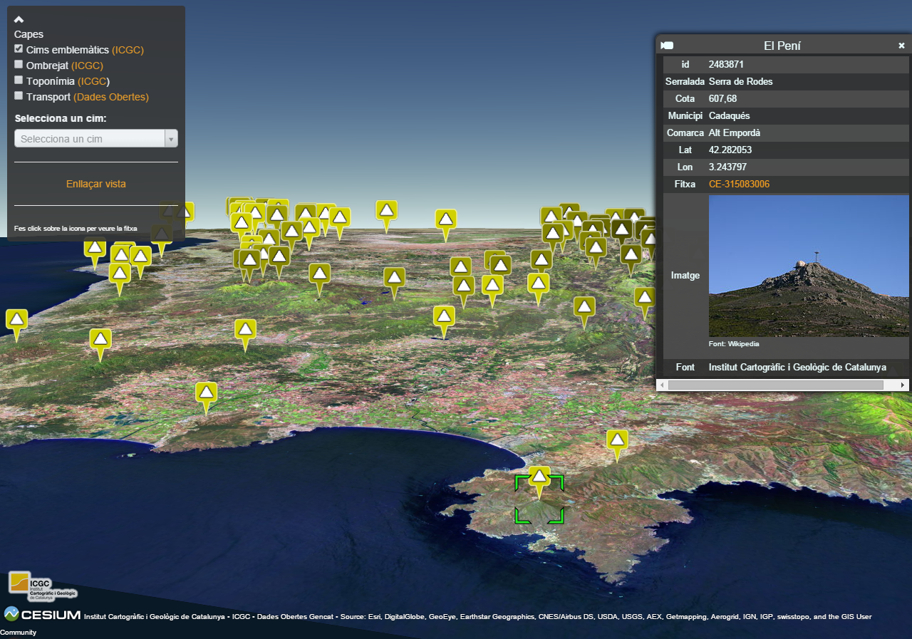
This tool is based on Cesium, a JavaScript library that uses WebGL to create 2D and 3D globes and maps in the web browser without the need of a plug-in. Cesium is open source under the Apache 2.0 license and is free for commercial and non-commercial use.
As a demonstrator of what Cesium allows, we have added a set of layers that you can activate. This way you can see the icons that pinpoints the 100 most emblematic peaks of Catalonia, navigate from the drop-down menu and see its information.
The geoinformation we have used to create this scenario is our 5 meters resolution digital terrain model of Catalonia.
Demo: http://betaserver.icgc.cat/cesium/100cims.html
Copy the files within a folder on a web server
More information at http://betaportal.icgc.cat/wordpress/catalunya-en-3d-en-el-teu-navegador/
Copyright (c) 2017- Geostarters (MIT License)
See LICENSE file for more info.
