Spatio-Temporal Patterns of NO2 Level & Human Mobility Through the Variants of COVID-19 in South-East Asia
This is an open-source project and you are very welcome to contribute your comments, questions, resources, and apps as issues or pull requests to the GitHub repository.
Feel free to go to our storymap, our web app and our online map layers for more comprehensive information and references.
To run our web app locally:
streamlit run app.py
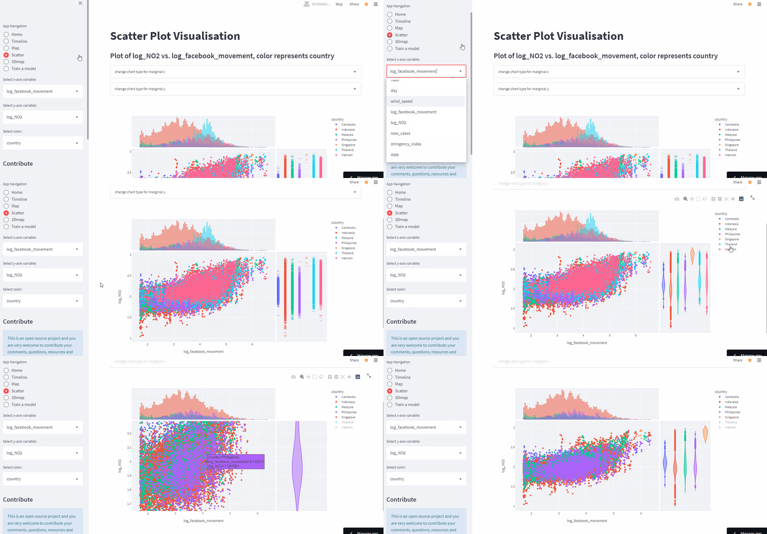
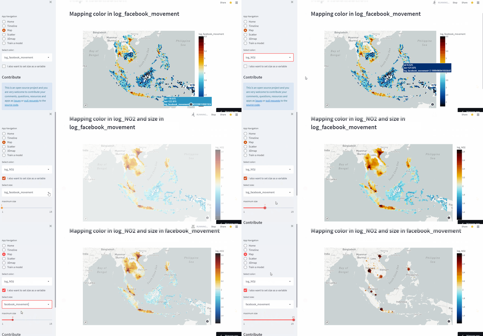
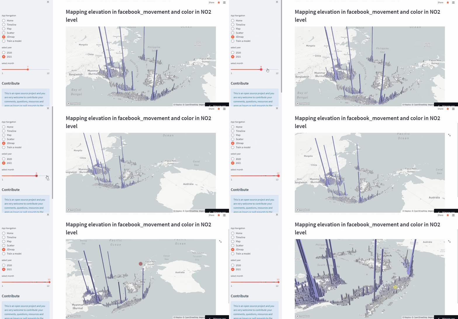
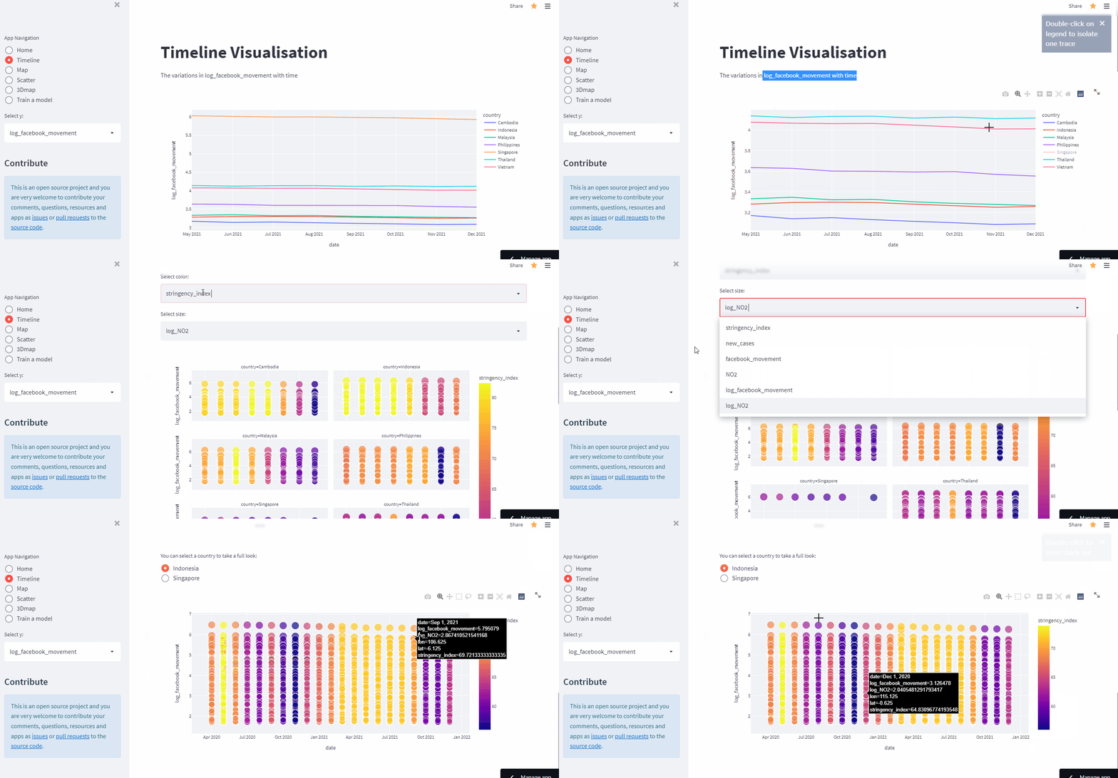
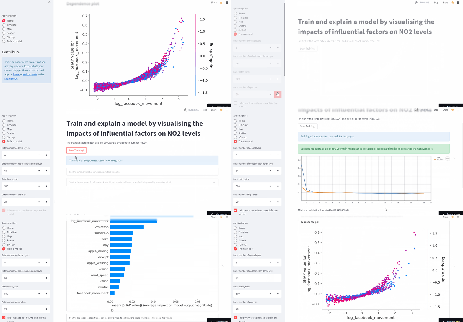
Here is some visualisation examples from web app
In this project, we aim to investigate the Impact of Covid-19 on Spatial-Temporal Variation of NO2 Levels and Its Sensitivity to Mobility in South-East Asia.
-
Identify the temporal changes of NO2 and mobility throughout the three waves of COVID-19 (Mar 2020 – Feb 2022) in Indonesia
-
Evaluate the spatio-temporal patterns of NO2 level and mobility in the entire SEA throughout Delta and Omicron (Jun 2021– Feb 2022) using space time cube and emerging hotspot analysis
-
Develop a machine learning model to predict NO2 for SEA and assess the sensitivity of NO2 to key influencing factors
- The app folder collects all different apps written in pure python that were used in the multi-page app
Some of which are really impressive and can be used in most fields:
-
Data pulling and pre-preprocessing: pandas, Numpy, geemap, pytrends
-
Model and its explanabiltiy: Keras, Tensorflow, scikit-learn, SHAP
-
Visualisation: matplotlib, plotly, pydeck, Streamlit
